Laki is the volcano which caused the infamous 1783 eruption that nearly wiped out Iceland as a nation. Lava and poisonous gas devastated farms and livestock, causing nationwide famine. Lakagígar is an impressive row of craters resulting from the eruption.
The most devastating eruption in history
The Lakagígar crater series is a popular attraction for adventurous travellers. It resulted from the 1783 eruption. Not only is this eruption Iceland’s largest recorded one, it is also the most devastating eruption in recorded world history. The death toll is immeasurable. Although Laki is dormant today, it left huge evidence of its destructive power, including the craters.
The volcanic system erupted heavily over an eight month period from June 1783, pouring out over 42 billion tons of basalt lava. The eruption created the Eldhraun lava field, and it spewed out clouds of poisonous gases that contaminated the soil. The gases led to the death of over half of all livestock in Iceland and the destruction of crops. Subsequently, this led to famine, which killed about 25% of Iceland‘s population.
The effect of the Laki eruption on global temperature
In addition, the poisonous gases and ash clouds had a huge impact on the European mainland. Crops failed, causing famine all over the continent. Furthermore, some historians have speculated that the eruption and its horrible aftermath played a huge role in the French revolution.
In fact, the eruption poured over 120 million tons of sulphur dioxide into the atmosphere over the complete northern hemisphere. In addition to the European crop failures, scientists believe the eruption also caused droughts in India and North Africa. North Americans experienced the coldest winter in history. Without a doubt, the eruption killed millions, making it one of the most devastating eruptions in history.
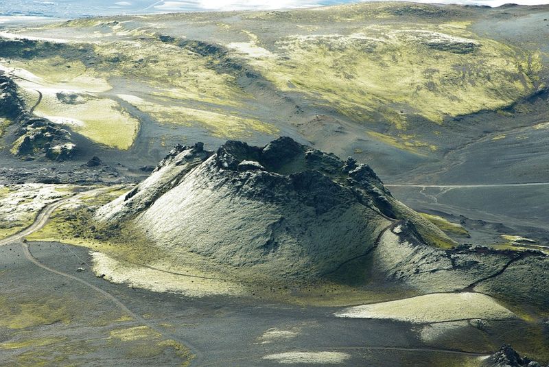
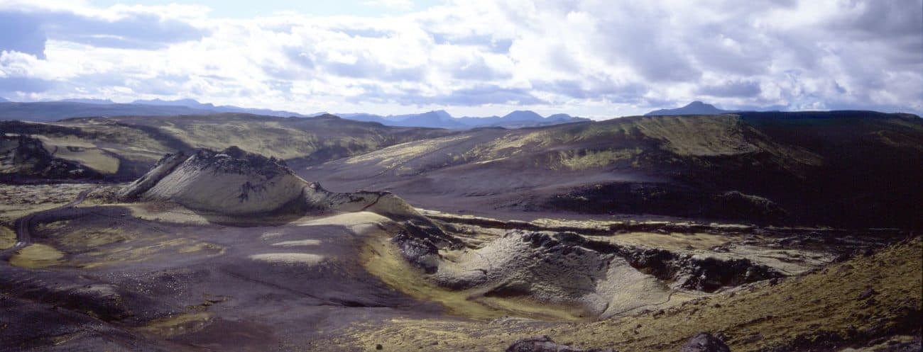
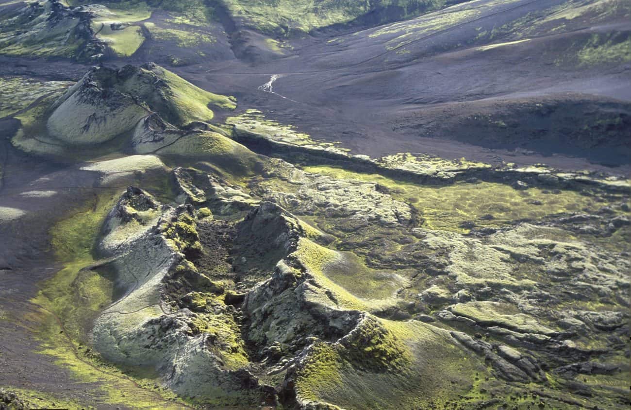
Lakagígar craters
The Lakagígar area stretches an impressive 25 kilometres (15.5 miles). It consists of spectacular lava formations in bright red and black colours. Many of the craters are still steaming, and the view from the top leaves many visitors speechless.
The craters are a part of the Grímsvötn volcano system, a very active area that lies between Mýrdalsjökull glacier and Vatnajökull glacier.
Where to find Laki volcano and Lakagígar craters?
Laki lies on the southwest side of Vatnajökull National Park. It is close to the village of Kirkjubæjarklaustur on the south coast. You can access the craters if you have a 4WD vehicle with good suspension, as you will need to drive on unpaved wilderness roads. If you staying more than one night in Kirkjubæjarklaustur, we recommend a full day tour that includes the craters, Eldgjá Canyon and Fjaðragljúfur Canyon. Tour operators in the area also offer guided visits to the craters in powerful wilderness jeeps.
GPS: 64.070668 N, -18.237803 W
-1300x870.jpg)