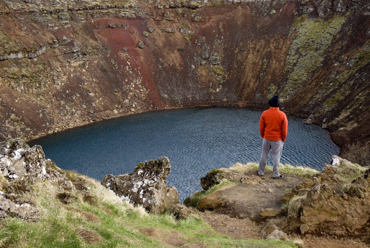
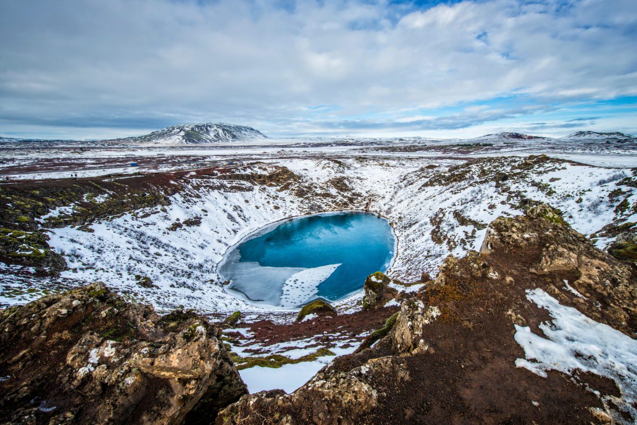
Kerid is a striking volcanic crater lake filled with milky blue-green water against a backdrop of stark black and deep red slopes. Kerid is a popular Golden Circle route stop for both tourists and locals.
Experts once believed Kerid was an explosion crater formed 3.000 years ago. Geologists now believe it is a magma chamber that collapsed at the end of a volcanic eruption 6.000 years ago. The crater is the northernmost part of a crater row called “Tjarnarholar.” Furthermore, the colorful crater lake is part of Iceland’s Western Volcanic Zone, which includes the Reykjanes peninsula and Langjokull glacier.
How deep is the Kerid crater?
Kerid is 55 meters (180 ft.) deep, including the still water on the bottom. Beneath a certain level, cavities and fissures in the rock contain groundwater. The surface of this level is the water table. The current pool of water at the bottom of the crater is at the same level as the water table and is not caused by rainfall.
You can walk around the rim of the crater on a special path. During the walk you can view how the red and black slopes contrast with the striking aquamarine water, The combination of colors and surfaces creates a truly otherworldly landscape.
Where to find Kerid crater?
The crater sits 15 km north of Selfoss in South Iceland. It is actually right off Road 35. A car park (parking lot) sits directly next to the crater.
When did the Kerid crater erupt?
The eruption that created the Kerid Crater took place over 6.000 years ago.
How deep is the lake in the Kerid crater?
Scientists first measured the water depth in the 1950s. At its deepest the lake is between between 8 and 9 meters (26 and 30 feet).
Does it cost to see the Kerid crater?
Yes, there is a small admission fee. Proceeds from the fee help to maintain the path and provide visitor information, as well as to protect the natural area around the crater.
Check out our complete guide to the Golden Circle and West Iceland.