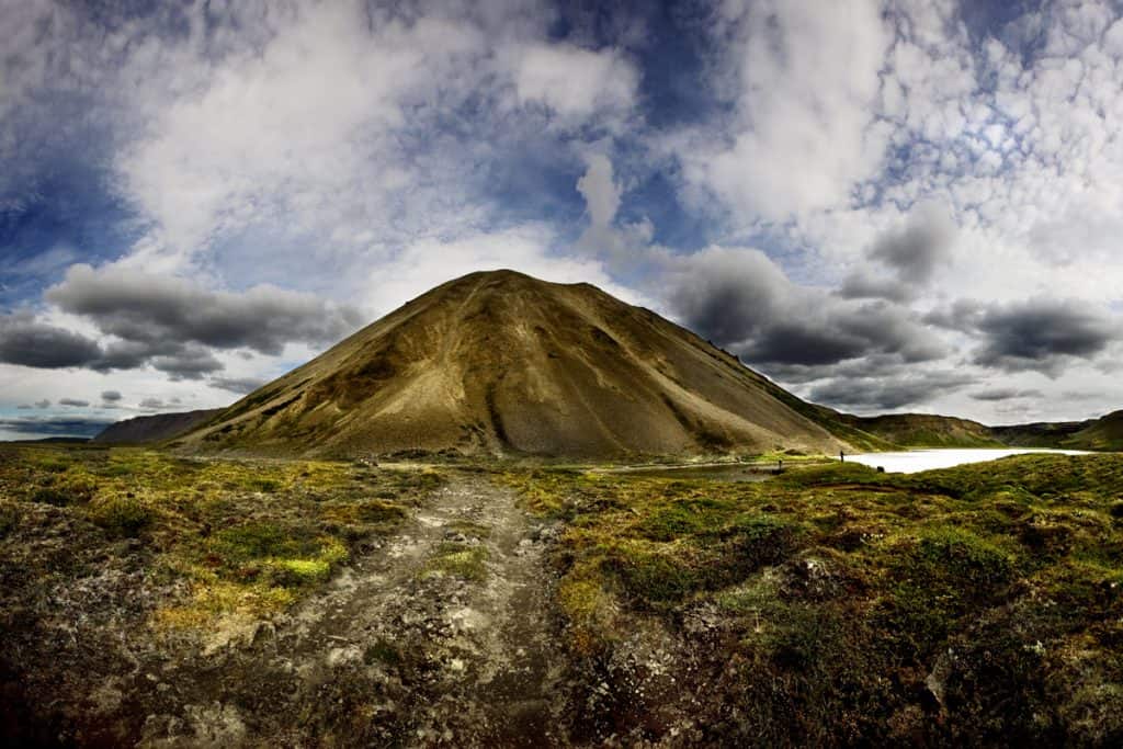
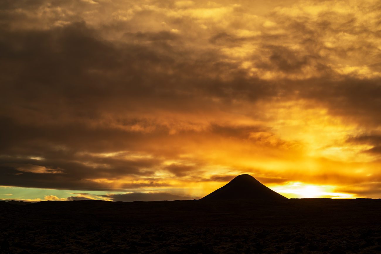
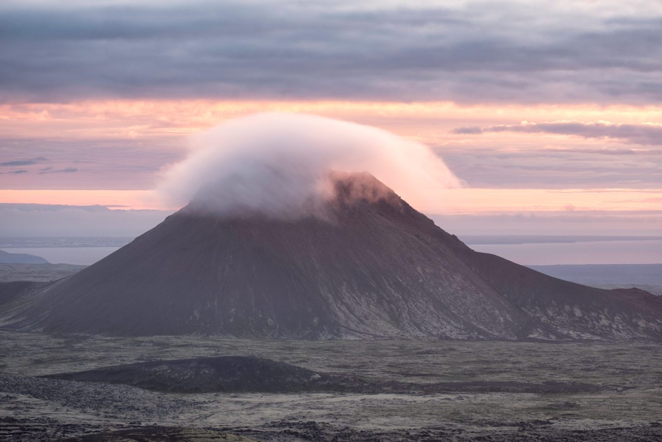
Keilir is a perfectly cone-shaped mountain visible on the main road leading from Keflavik Airport into Reykjavik. Created from sub-glacial eruptions during the Ice Age, this distinctive landmark is a proud symbol of the Reykjanes Peninsula.
Although the sides are quite steep, Keilir is not too difficult to climb. Moreover, the view from the summit is certainly worth the effort. On top of the mountain, you will find a concrete table with a directional map etched into a metal table so you can identify famous sites that the mountain overlooks.
Hiking in the Keilir area
You can enjoy many beautiful hiking trails around the mountain, as well as trails leading to its top. Climbers consider the level of difficulty of hiking up the mountain to be moderate since the slopes can get steep. However, the hike is rewarding since Keilir’s peak offers a great and breathtaking view of the Reykjanes Peninsula.
How was the mountain formed?
During the Ice Age, an eruption underneath a glacier formed Keilir mountain. Geologists class Keilir as a hyaloclastite mountain (a volcano formed under ice), although many scientists believe it to actually be a part of a large crater.
Getting to Keilir
If you drive from from Reykjavik, it takes about 45 minutes to reach the mountain. You just will drive towards Keflavik International Airport on Reykjanesbraut and follow the signs for the pyramid-shaped mountain.
GPS: 64° 00′ 9.468″ N, 22° 33′ 11.772″ W