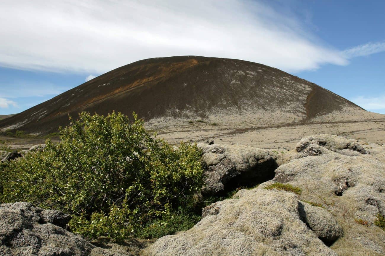
Grabrok crater rises about 170 meters (558 feet) above the ground and is easily accessible via a footpath. It’s quite steep, but thankfully steps have been built on part of it to make the hike easier.
Grabrok belongs to the Ljosufjoll volcanic system. It reaches from the Berserker lava field in the northern Snaefellsnes peninsula, over the actual Ljosufjoll mountains, and all the way to the Grabrok craters. It extends over a distance of 90 km (56 miles) and is one of the longest volcanic systems in Iceland. The last eruption in this volcanic system was about 1.000 years ago.
How did Grabrok form?
The crater is the largest of three craters and formed about 3.400 years ago in a fissure eruption. The lava forming Grabrokarhraun lava field came from these three craters: Stora Grabrok, Grabrokarfell and Litla Grabrok. The lava blocked the path of the Nordura River and pushed it further east. It also blocked the hollow where Hredavatn lake is today, thus forming the lake. Beautiful water streams come up from the lava in several places. The biggest streams are in Paradisarlaut.
Can you hike to the top of Grabrok?
Yes, you can. A brisk walk from the parking lot to the top of the crater and back again takes about 40 minutes. Once at the top, you will have an incredible view of the Borgarfjordur countryside and the encircling mountains.
Where to find Mt. Grabrok?
The volcano is in Nordurardalur valley, near the small village of Bifrost.
GPS: N64° 46′ 17.614″ W21° 32′ 23.370″